El Nino set to strengthen: 10 global weather changes to watch this winter
El Niño may peak this winter, bringing global warmth, heavy rain and drought risks. See 10 weather shifts to watch.
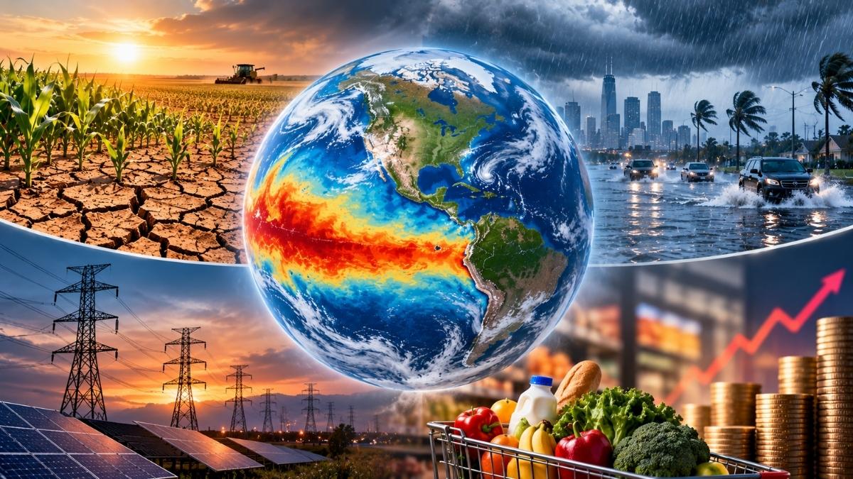
The world could face a mix of warmer temperatures, heavy rainfall and dry conditions over the next three months as El Nino continues to strengthen. The World Meteorological Organization (WMO) expects sea temperatures in the central and eastern Pacific Ocean to rise sharply, with the warming likely to peak in December 2026. In its October 20 climate report, the WMO forecast a sea temperature reading of 3.8°C above the reference average for the November 2026 to January 2027 season.
The reading had risen from 2.0°C in July to 2.8°C in September. The report points to a greater chance of above-normal temperatures across much of the world, but rainfall patterns are expected to vary widely between regions. Here are key findings from the global climate outlook: El Nino could reach its strongest phase around December The WMO expects the Niño 3.4 index, which measures sea temperatures in a key part of the Pacific Ocean, to average around 3.8°C above the reference level during November 2026 to January 2027.
The monthly forecast stands at 3.7°C for November, 3.8°C for December and 3.7°C for January. The index had already risen from 2.0°C in July to 2.5°C in August and 2.8°C in September. The steady rise points to a strong warming event that could affect weather patterns across the world. Above-normal temperatures expected across several continents The report forecasts a higher chance of above-normal temperatures across Africa, southern Europe, the Arabian Peninsula, India, East Asia and parts of North America.
The Arctic region north of 60°N is also expected to see warmer conditions. In the Southern Hemisphere, the strongest signal for above-normal temperatures is over Africa and parts of South America between the equator and 30°S. Australia also has a higher chance of warmer-than-normal conditions. India is likely to experience a warmer-than-normal season India is among the regions where the WMO expects a strong increase in the likelihood of above-normal temperatures between November and January.
Similar conditions are forecast across the Arabian Peninsula and East Asia. The rainfall outlook, however, is different across Asia. The report points to a greater chance of above-normal rainfall from the Arabian Peninsula through Central Asia and into East Asia, particularly along the coast and nearby areas. It does not give a single rainfall prediction for the entire continent. The Pacific Ocean could see more rain in the east and less in the west The WMO identifies the central and eastern equatorial Pacific as the main area where above-normal rainfall is expected.
The wet pattern extends east of the International Date Line towards the coast of South America. The western Pacific, meanwhile, has a stronger signal for below-normal rainfall. The dry pattern also stretches across parts of the South Pacific towards the southern tip of South America. These changes are among the clearest rainfall patterns in the report. Parts of southern Africa, particularly areas south of 10°S, show a weaker signal for below-normal rainfall.
The report says confidence in rainfall changes across Africa is low to moderate. This means the outlook is less certain than in regions where different forecast models show stronger agreement. Central America and the Caribbean face a drier outlook The WMO forecasts a higher chance of below-normal rainfall across southern parts of Central America and the Caribbean. The report says the models show strong agreement on this pattern.
North of these areas, much of North America south of 45°N has a higher chance of above-normal rainfall. Northwestern parts of North America show a weaker signal for drier conditions. South America could see both dry and wet conditions Northern South America is more likely to receive below-normal rainfall, with the dry signal extending south to around 15°S. Southeastern parts of the continent, in contrast, have a higher chance of above-normal rainfall.
The outlook also points to a greater chance of below-normal rainfall near the southern tip of South America. The differences across the continent show why a single regional forecast cannot describe conditions across all South American countries. The Indian Ocean Dipole is expected to weaken The positive Indian Ocean Dipole strengthened during July to September 2026. Its index rose from 0.3°C in July to 0.7°C in August and 0.9°C in September.
The WMO expects it to move closer to normal levels over the next three months, with a forecast seasonal average of 0.3°C. The monthly forecast falls from 0.6°C in November to 0.3°C in December and 0.1°C in January. This is another important change in ocean conditions that could influence regional weather. The tropical Atlantic is expected to remain warm Sea temperatures in both the North and South Tropical Atlantic are forecast to remain above normal.
The WMO expects average anomalies of around 0.9°C in both regions during November 2026 to January 2027. The monthly forecasts for the North Tropical Atlantic rise from 0.8°C in November to 1.0°C in January. The South Tropical Atlantic is also forecast to reach 1.0°C in January. At the same time, the report identifies a higher chance of below-normal rainfall over the equatorial Atlantic. Seasonal forecasts show likely patterns, not certain outcomes The WMO report is based on several climate models, but it does not guarantee that every region will experience the conditions shown on its maps.
A higher probability of above-normal temperatures, for example, does not mean every day will be hotter than usual. The report also notes that seasonal forecasts are less reliable than short-term weather forecasts, and their accuracy varies by region and season. National weather agencies will need to provide more detailed information for individual countries as the season progresses. The next three months could bring warmer conditions across much of the world, alongside major differences in rainfall.
The WMO outlook gives governments and communities an early indication of what to watch, but local forecasts will be important in understanding how these changes may affect each region.