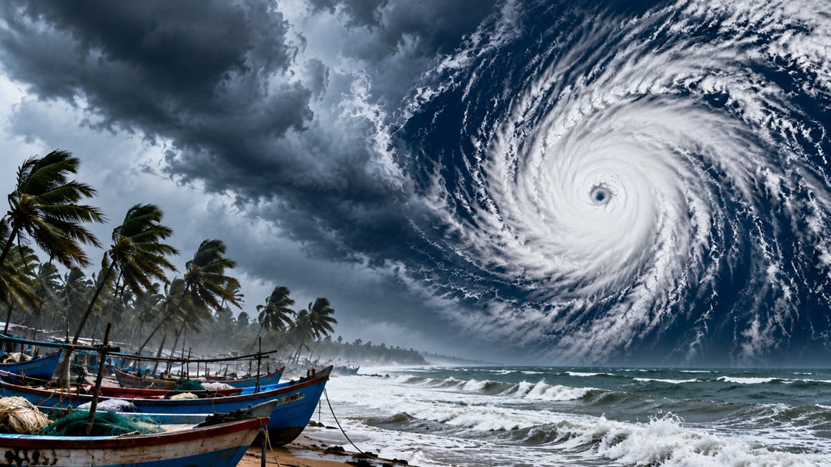
Cyclone Murasu to hit Andhra coast on Nov 3, with winds of up to 120 kmph
Cyclone Murasu: The forecast of intense rainfall and strong winds has put central and southern coastal districts on alert as the storm approaches the coastline.
Andhra Pradesh is bracing for the impact of Cyclonic Storm Murasu, which is expected to intensify into a severe cyclonic storm over the Bay of Bengal before making landfall along the state's southern coast between the night of November 2 and the early hours of November 3. On Sunday, the India Meteorological Department (IMD) has issued a red alert for five districts, warning of extremely heavy rainfall and wind speeds of up to 120 kmph.
The approaching storm prompted the Andhra Pradesh government to step up its preparedness. Chief Minister N Chandrababu Naidu cancelled his scheduled visit to Delhi on Monday and reviewed the relief and emergency response arrangements. In its latest bulletin on Sunday, the IMD said Cyclonic Storm Murasu was moving west-northwestwards over the southwest and adjoining west-central Bay of Bengal. The system is likely to intensify further into a severe cyclonic storm by the morning of November 2 before moving towards the Andhra Pradesh coast.
30 pm on November 1, near latitude 12.4°N and longitude 84.6°E. The weather system was located around 480 km east-southeast of Chennai, 550 km east-southeast of Nellore, 560 km southeast of Machilipatnam, 600 km southeast of Ongole and 610 km south-southeast of Visakhapatnam. It had moved west-northwestwards at a speed of 27 kmph during the preceding six hours. The IMD said the system was very likely to intensify into a severe cyclonic storm over the west-central Bay of Bengal around the morning of November 2.
Thereafter, it is expected to move northwestwards and cross the south Andhra Pradesh coast between Nellore and Narsapur from around 11.30 pm on November 2 to 4 am on November 3. At the time of landfall, the storm is likely to bring sustained wind speeds of 100-110 kmph, with gusts reaching 120 kmph, the weather department said. Red alert in Krishna, Guntur, Bapatla, Prakasam and Nellore The IMD has issued a red alert for five Andhra Pradesh districts - Krishna, Guntur, Bapatla, Prakasam and Sri Potti Sriramulu Nellore - for November 2, warning of extremely heavy rainfall at isolated places.
Coastal Andhra Pradesh is expected to experience the strongest impact of the weather system. The IMD has forecast heavy to very heavy rainfall across coastal Andhra Pradesh, Rayalaseema and Telangana on November 2 and 3. Extremely heavy rainfall is also likely at isolated places in coastal Andhra Pradesh and Yanam. Coastal areas are expected to experience gusty winds of 80-90 kmph on both days. The forecast of intense rainfall and strong winds has put central and southern coastal districts on alert as the storm approaches the coastline.
In a post on X, Naidu said the weather system was likely to intensify into a severe cyclonic storm over the west-central Bay of Bengal by November 2 and could cross the coast near Bapatla on the morning of November 3. He also said he had reviewed the relief measures and preparedness arrangements to deal with the possible impact of the storm. While the chief minister mentioned Bapatla as a possible landfall location, the IMD's bulletin identified the likely landfall stretch as the coast between Nellore and Narsapur.
Odisha issues emergency preparedness directives The approaching cyclone has also prompted precautionary measures in neighbouring Odisha. The Special Relief Commissioner (SRC) of the Odisha government has circulated a preparedness action plan and issued emergency directives to ensure that the state administration is ready to respond to the possible impact of Cyclonic Storm Murasu. The measures are aimed at ensuring preparedness in view of the likelihood of heavy rainfall and strong winds in parts of the state.
What does Murasu mean? How cyclones are named The name Murasu was proposed by India under the regional cyclone-naming system for the North Indian Ocean. The word, derived from Tamil, refers to a traditional percussion drum and an ancient musical instrument. Historically, the drum was used to communicate public information and make announcements across villages and kingdoms. The IMD, through its Regional Specialised Meteorological Centre in New Delhi, is responsible for naming tropical cyclones developing over the North Indian Ocean, which includes the Bay of Bengal and the Arabian Sea.
According to the Ministry of Earth Sciences, the regional naming system involves 13 countries: Bangladesh, India, Iran, the Maldives, Myanmar, Oman, Pakistan, Qatar, Saudi Arabia, Sri Lanka, Thailand, the United Arab Emirates and Yemen. The list introduced in 2020 contains 169 names, with each participating country contributing 13 names. These are arranged sequentially and assigned to cyclones as they develop.
A weather system receives a name when its maximum sustained surface wind speed reaches 34 knots, or approximately 62 kmph. This means a system is not named simply because it develops over the sea or is forecast to bring rain; it must first meet the prescribed wind-speed threshold.